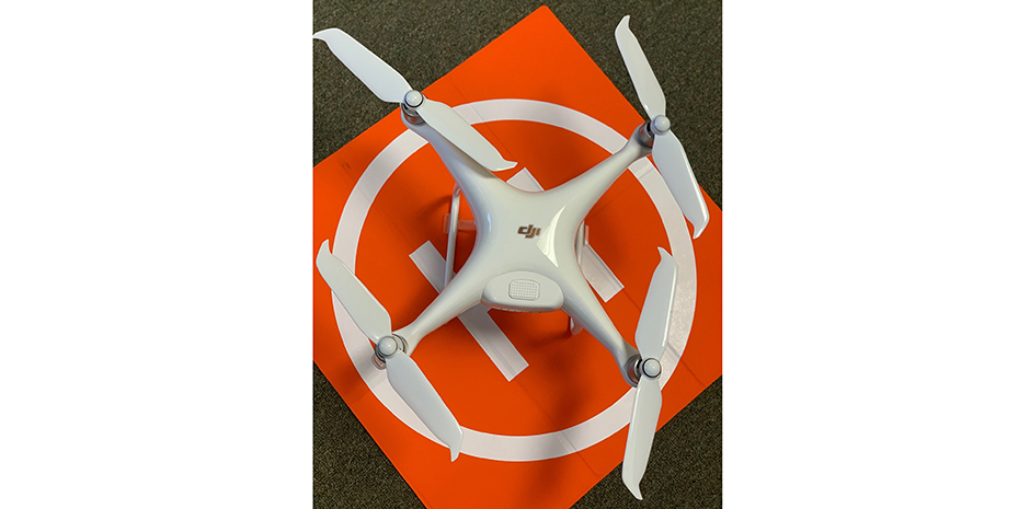
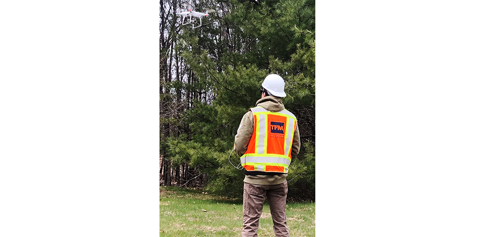
TFMoran is excited to announce we have launched new survey services via drone, operated by Survey Technician and FAA Part 107 Certified Pilot, Eric Salovitch, SIT. Eric works out of TFMoran’s Seacoast Division office and is available for any project that would benefit from this new technology.
New Drone Survey Services include:
- Aerial Mapping
- Aerial Imagery
- Structural Inspections
- Construction Monitoring
- Volume Calculations
- Video Inspections
- Mapping for Conceptual Design
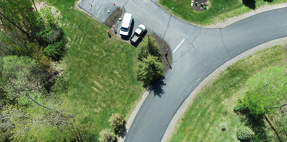
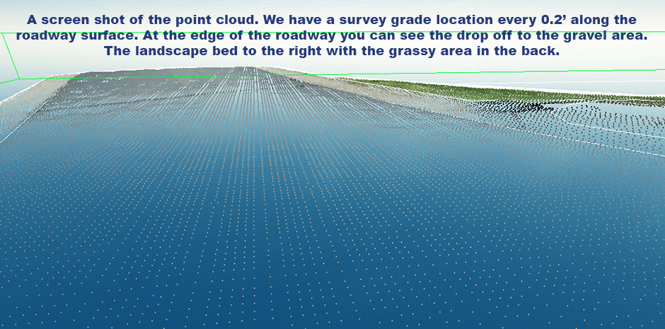
TFMoran’s first drone project was to produce a topographic survey on a private residential road to depict low areas which are causing drainage issues. The area of interest was relatively flat with no obvious areas of relief. TFMoran were able to utilize UAV technology to limit the time the field crew had to spend in the roadway. We were able to capture millions of points along the roadway. That data was adjusted to survey grade control. The client is now not only able to identify low points in the pavement solving their drainage issues, but can also identify every pothole along the stretch of road.
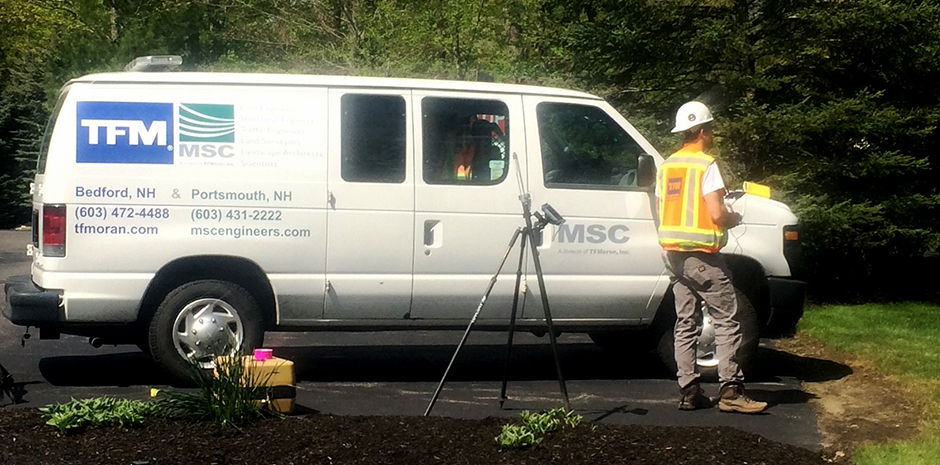
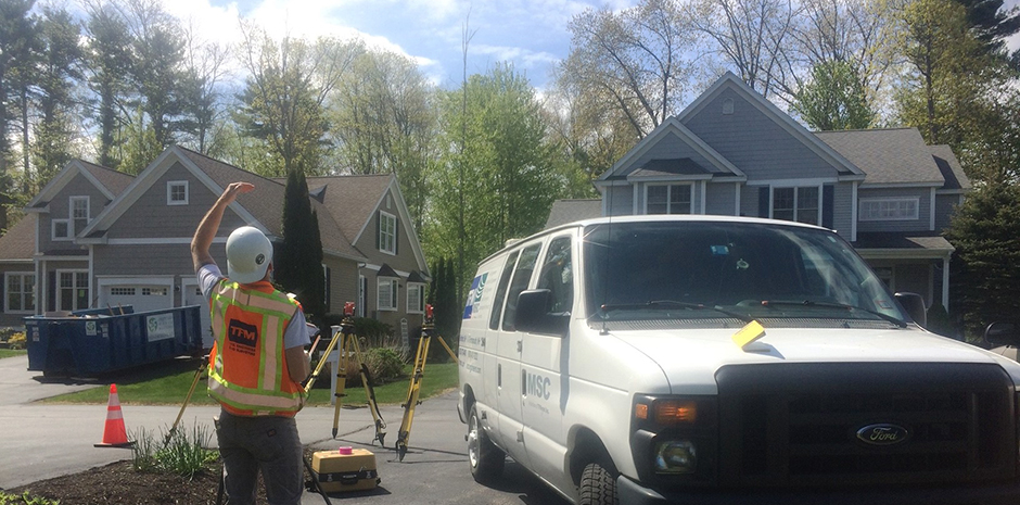
There are many advantages of using UAV. We were able to keep field crews safe and out of the traveled way. We were able to provide the client with more data. We have a survey grade location every 0.3’ compared to conventional data which is 45’ +/-. Since this is a private community, TFMoran provided a few aerial images to the client which is a by-product of our survey. It doesn’t take us any additional time to capture these photos and is a great complimentary product.
We are looking forward to our next Aerial Mapping project!