Archive

0

Shadowing TFMoran’s Land Surveyors

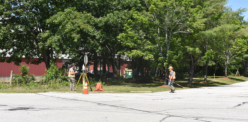
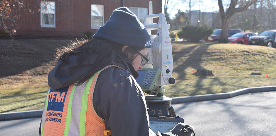
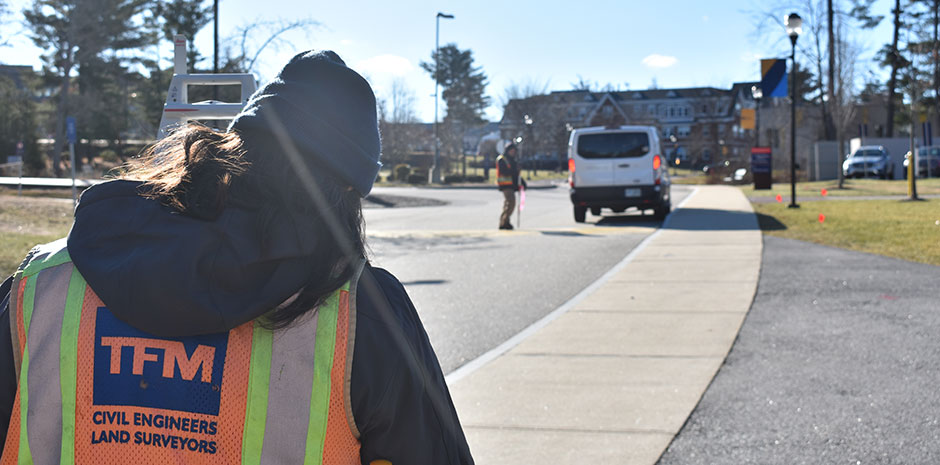
Today, Marketing Intern Eric Poublon had the opportunity to tag along with the Land Surveying department for a day in the field.

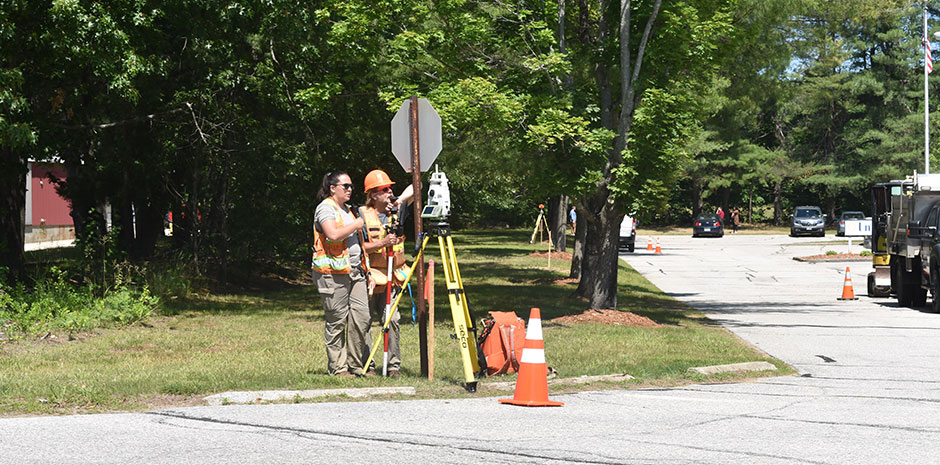
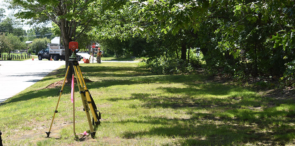
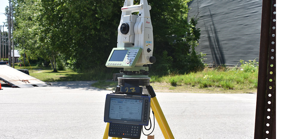
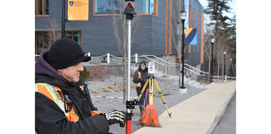
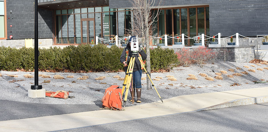
Eric joined Morgan and Marty at Southern New Hampshire University this morning for part of their Topography and Utility Survey. Morgan and Marty demonstrated how the Prism Pole is tracked either manually or robotically by the operator or the Total Station Theodolite. This lets the team record precise measurements by communicating the vertical height and horizontal depth, allowing the instrument to draw a three dimensional line between the two surveyors and their equipment. The line will then be used to produce a topographic map of the site. They also recorded where the electrical and sewer manhole covers were located along with catch basins in the area.

Eric enjoyed his time out in the field with the Land Surveying department and getting to know the work and expertise of others at TFMoran!

0

A Day in the Field to Identify Invasive Species

This week, Marketing Intern Eric Poublon had the opportunity to shadow Paul O’Hanlon, one of TFMoran’s Certified Erosion, Sediment and StormWater Inspectors (CESSWI), out in the field at an upcoming project in Derry, NH.

Paul showed Eric how to read and reference the Wetlands Impact Plan to locate invasive and native species on site along with marking down ones that may have been missed. They identified four invasives and only one native, Burning Bush, Japanese Barberry, Japanese Knotweed, Oriental Bittersweet and Common Pokeweed, respectively.

Eric had a great time getting to see one of many tasks Paul does out in the field and learn a little about the process that goes into preparation for a project.

0

A Day in the Life of TFMoran’s Land Surveyors

A few weeks ago, Marketing Intern Jackie Gamache had the opportunity to tag along with the Land Surveying department for a day in the field. On Thursday, June 22nd, Jackie shadowed field crew Morgan Hershey and Tom Wood. Jackie learned about a project our Land Surveyors are currently working on, and how data is collected in the field.

Survey Field Technician Morgan Hershey demonstrated how measurements and images are collected in the field. Using instruments such as the Robotic Total Station, our Field Crews collect data by measuring and recording distances from a specific point of reference. The data collected in the field is received at the office in real time.

Jackie had a great time tagging along with Morgan and Tom. She enjoyed seeing all the hard work that goes into Land Surveying!